
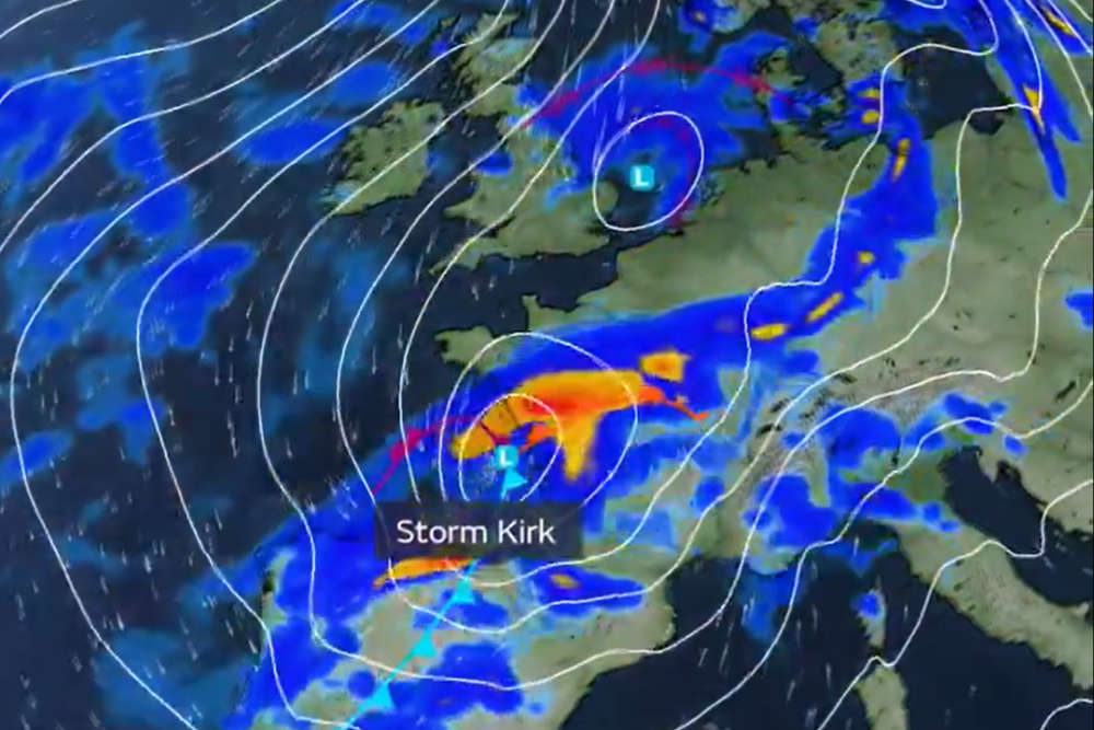
The worst of ex-Hurricane Kirk looks set to miss the Channel Islands, as it tracks 20-30 miles south over France.
Forecasters have spent the past few days keeping a 'sharp eye' on Kirk making its way across the Atlantic.
At its peak, Kirk reached category 4 status with wind speeds of 145mph.
By the time it reaches Europe, it'll have been downgraded to storm status.
Meteorologists have been watching its path very closely, with computer models giving varying scenarios for where exactly it will impact.
Rob Plummer says there is now more certainty that Kirk will be 'brushing southwards' of the Channel Islands late Tuesday into Wednesday (8/9 October).
"The really strong winds (will be) quite a long way south, perhaps even further south then Brittany.
"There is a very large swathe of heavy rain over the northern half of France which is certainly going to lead to some major flooding in some areas there.
"But it is really quite confidently passing just to the south of us at the moment."
Rob Plummer says forecasters are 'not particularly worried' about the winds, but we could see some associated rain:
"We're still a little bit on standby regarding that, as this swathe of heavy rain is 20 to 30 miles to the south of us.
"The error margins around these computer models forecast do mean that we could see a bit of that, but if we do we're still at the outer edge of it, rather than the core centre.
"The chance of flooding in Jersey - even less so in Guernsey - is very low, indeed, around 10%
"A lot of people forget when we say 10% that means there's a 90% chance, a very high chance, of it not happening."
Storm Kirk is an ex-hurricane, but is likely to weaken in the coming days as it continues east-northeast across the North Atlantic
— Met Office (@metoffice) October 7, 2024
However it is still likely to bring a spell of wet and windy weather to parts of France pic.twitter.com/ool6YxCWMg
 Gas price increase for Guernsey and Jersey
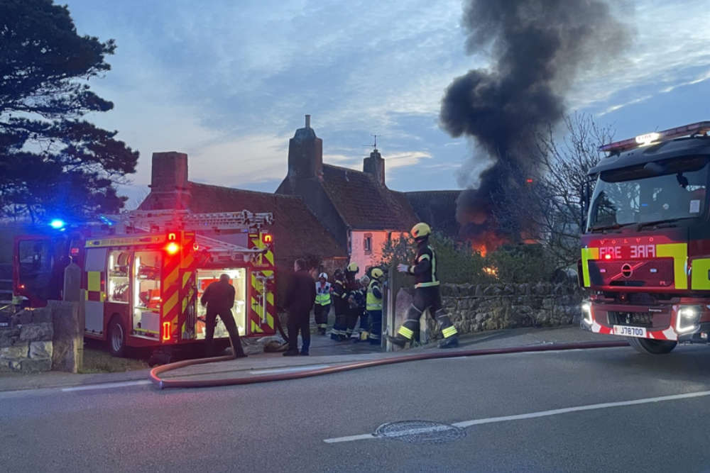 No injuries after car and outbuilding fire in Grouville
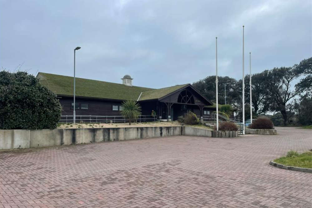 Nursery to move into Les Creux Pavilion
 Jersey to get another royal visit
 Emergency services to test response to terror attack
 Final States meeting for current crop of politicians
 Jersey pupils travel to UK finals of F1 STEM racing
 Islanders coming from Kent universities to contact Public Health